


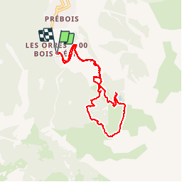

7,7 km | 13,7 km-effort

Benutzer


Kostenlosegpshiking-Anwendung
 SityTrail
IGN / Geografische Institute
SityTrail World
Die Welt öffnet sich für Sie
Tour Wandern von 8,1 km verfügbar auf Provence-Alpes-Côte d'Azur, Hochalpen, Les Orres. Diese Tour wird von myjackotte vorgeschlagen.
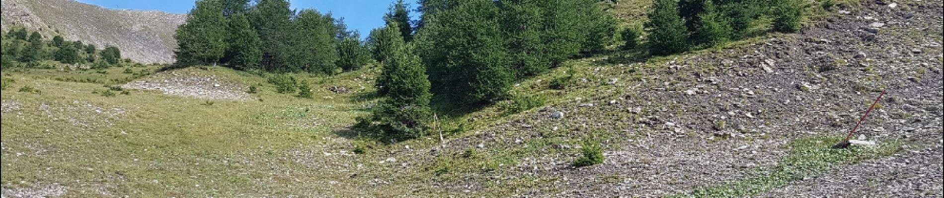
montée pour aller photographier des marmottes. beaux paysages dans la descente entourée de fleurs et de marmottes


Wandern

Wandern

Wandern

Mountainbike

Wandern

Wandern

Wandern

Skiwanderen

Schneeschuhwandern